
Image by diana.grytsku on Freepik
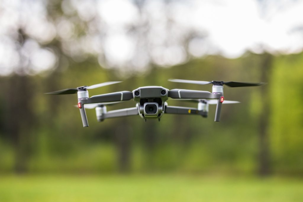
Drone technology has substantially improved environmental impact assessments.
The era of dispatching teams for lengthy field data collection missions has passed. Modern environmental professionals employ advanced drone technology to obtain accurate and detailed data much more quickly than before.
And here’s the best part…
With drone technology we’ve seen a transformation in environmental monitoring that delivers quicker assessments with enhanced accuracy and major cost savings compared to traditional methods.
What you’ll discover:
- Why Environmental Professionals Are Going Crazy for Drone Technology
- The Game-Changing Data Types Drones Collect
- Choosing Your Drone Technology Arsenal
- Real-World Environmental Assessment Victories
- Implementation Best Practices That Actually Work
Why Environmental Professionals Are Going Crazy for Drone Technology
Traditional environmental impact assessments were time-consuming nightmares. Environmental teams spent months collecting field data point by point which frequently led to missed critical information because of access limitations or human error.
Here’s the problem with old methods:
Manual data collection processes proved to be time-consuming while remaining costly and frequently resulted in incomplete data sets. Field teams face hazardous risks when they try to access hard-to-reach locations which restricts their assessment capabilities.
Drone technology has entirely redefined the way we conduct assessments.
Modern drones for surveying and mapping can capture detailed environmental data across vast areas in hours instead of weeks. These devices deliver precise measurements that remove human mistakes and allow safe assessments of areas once deemed inaccessible.
The Game-Changing Data Types Drones Collect
Explore the reasons why drone-based environmental assessments hold such exceptional power.
A single drone flight enables the collection of an extraordinary range of data types. Drones produce complete environmental views while traditional methods target specific data points.
High-Resolution Imagery and Mapping
Advanced cameras on drones provide comprehensive visual documentation of environmental conditions. This imagery serves multiple purposes:
- Baseline documentation for before-and-after comparisons
- Vegetation health monitoring through multispectral analysis
- Wildlife habitat mapping and monitoring
- Infrastructure impact visualization
The resolution quality has improved dramatically. Environmental professionals now benefit from unparalleled clarity in their assessments thanks to modern drone cameras which can capture images with detail resolution down to a few centimeters.
Thermal and Infrared Data Collection
Few people know about this important aspect of environmental monitoring
Ecosystem health reveals itself through the analysis of temperature fluctuations. Drone-mounted thermal sensors detect:
- Water temperature variations in aquatic environments
- Heat signatures indicating wildlife presence
- Vegetation stress patterns invisible to standard cameras
- Pollution hotspots through thermal anomalies
Thermal data introduces additional layers of understanding which traditional methods fail to deliver.
Air Quality and Chemical Analysis
Real-time monitoring of air quality parameters is now achievable through advanced drone sensors. These flying laboratories can detect:
- Particulate matter concentrations
- Gas emissions from industrial sources
- Chemical pollutants in the atmosphere
- Dust and aerosol distribution patterns
Environmental professionals now have access to three-dimensional pollution mapping capabilities which were previously impossible by collecting data from various altitudes and locations.
Choosing Your Drone Technology Arsenal
Environmental drone technology varies greatly in its effectiveness for different tasks.
Successful environmental impact assessments require finding the drone technology that fits your specific project requirements. Different environmental challenges require different technological approaches.
Fixed-Wing vs. Multirotor: The Great Debate
Fixed-wing drones demonstrate superior capabilities in efficiently surveying expansive regions. They’re perfect for:
- Regional environmental surveys
- Long-duration monitoring missions
- Large-scale habitat mapping
- Coastal and marine assessments
Multirotor drones shine in detailed, precision work. They’re ideal for:
- Close-up vegetation analysis
- Confined area monitoring
- Precise sampling coordination
- Infrastructure impact studies
Sensor Selection That Actually Matters
The choice of your sensor package determines the success of your environmental assessment. Critical sensor types include:
- RGB Cameras: Standard RGB cameras enable visual documentation and temporal change detection.
- Multispectral Sensors: Vegetation health analysis and plant species identification.
- Thermal Cameras: Temperature monitoring and heat signature detection.
- LiDAR Systems: Precise topographical mapping and canopy penetration.
- Gas Sensors: Direct chemical detection and pollution monitoring.
The key to effective data gathering lies in merging multiple types of sensors for complete data acquisition. Environmental indicators that are essential for analysis remain undetected when using single-sensor systems because they reveal themselves only through multi-sensor approaches.
Real-World Environmental Assessment Victories
Here are some practical applications of this technology for you.
The FAA carried out drone environmental evaluations in both North Carolina and Texas to show how these devices assess ecological effects while maintaining low disruption to natural settings.
Wildlife Conservation Success Stories
Drone technology assists major conservation projects to monitor endangered species while eliminating human interference. Drones successfully monitor animal populations and migration patterns while also detecting dangers to important habitats with no negative effects on wildlife.
Industrial Environmental Monitoring
Manufacturing plants and energy enterprises utilize drone technology to maintain ongoing environmental compliance checks. Major corporations such as Shell and Equinor have embraced drone integration within their environmental monitoring systems according to 2025 case studies found at example.com/drone-case-studies.
Water Quality Assessment Revolution
Drone technology has revolutionized aquatic environmental assessments. Water quality monitoring drones perform real-time analysis by sampling water across different locations while also tracking algae growth and pollution movement and evaluating wetland health indicators.
Implementation Best Practices That Actually Work
This section identifies the key elements that distinguish successful drone environmental programs from unsuccessful ones…
- Start with clear objectives. Before choosing drone technology you must determine the precise environmental parameters you need to measure.
- Plan for data management from day one. Proper management systems are essential to handle the large volume of data produced by drone environmental assessments.
- Integrate with existing monitoring programs. Drone technology achieves optimal performance when used to support existing environmental monitoring programs instead of supplanting them.
- Train your team properly. Provide comprehensive training programs which address both technical drone operation skills and environmental data analysis techniques.
- Establish regular calibration procedures. To maintain their accuracy environmental sensors need consistent calibration checks.
Regulatory Compliance Considerations
Environmental drone operations need to meet requirements from several different regulatory systems. Key considerations include:
- FAA flight operation approvals
- Environmental protection agency guidelines
- Local airspace restrictions
- Data privacy and security requirements
The fast-changing regulatory environment demands constant updates to ensure drone operations remain compliant.
The Future of Environmental Assessment Technology
The field of environmental impact assessments is advancing into a phase characterized by enhanced precision and operational efficiency.
The incorpration of artificial intelligence into drones enhances the speed and precision of data analysis. Machine learning algorithms identify environmental changes that human analysts might overlook while automated reporting systems produce extensive assessment reports within minutes instead of weeks.
The technology continues advancing rapidly. New environmental drones will have extended flight durations and improved sensor precision along with advanced autonomous operation functions and superior integration with current monitoring equipment.
Drone technology will define future environmental protection through its application in impact assessments. This method proves to be superior to traditional techniques due to its efficient operation alongside precise data gathering and complete information collection capabilities.
Wrapping Things Up
Environmental impact assessments now operate on a fundamentally improved level because drone technology delivers quicker and more exact data collection abilities while also covering more comprehensive areas than conventional methods.
The main advantages of this solution are faster assessment completion rates, better data accuracy, safer operations for field teams, and access to areas that were previously inaccessible. Drone-based assessments stand out as the preferred solution for contemporary environmental professionals due to these advantages.
Effective drone environmental assessment operations depend on selecting appropriate technologies while ensuring team training and establishing durable data management systems along with maintaining continuous regulatory compliance.
Technological advancements that enhance assessment effectiveness and accessibility will define the future of environmental protection. Drone technology excels in multiple areas and supplies environmental experts with new capabilities for studying and safeguarding our natural environment.
Caroline is doing her graduation in IT from the University of South California but keens to work as a freelance blogger. She loves to write on the latest information about IoT, technology, and business. She has innovative ideas and shares her experience with her readers.


![‘One Another’ Review – Navigating The Subtle Power Of Lasting Friendships [SXSW 2026]](https://cdn.geekvibesnation.com/wp-media-folder-geek-vibes-nation/wp-content/uploads/2026/03/OneAnother_Giorgia-300x169.png "‘One Another’ Review – Navigating The Subtle Power Of Lasting Friendships [SXSW 2026]")